mount HanangManyara, Tanzania
 mount Hanang of Manyara region, in the distance as seen from the road coming from Singida
 mount Hanang of Manyara region, on the far left with the town of Katesh to its right
- mount Hanang of Manyara region, on a cloudy day
- mount Hanang of Manyara region, behind a settlement a few kilometres south of Katesh
- mount Hanang of Manyara region, on a cloudy morning
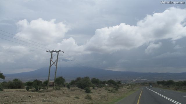
- mount Hanang of Manyara region, as seen from the Singida - Katesh highway
The fourth highest mountain in Tanzania after Kilimanjaro, Meru and Lolmalasin and is located about a 4 hour drive south of its northern border - Namanga. It mainly serves as a hiking destination, with hikes to its top taking one or two days - depending on ones level of fitness and time constraints.
It was formed by volcanic activity and lies within the Gregory (eastern) rift. Views availed at its top include those of lake Balangida, a few kilometres north west of it and the town of Katesh east of it - though only on a day with clear skies.
What to do there?Hike to its top for fun or just to enjoy the amazing views, or you could just admire how huge it is from afar. It never really seems as large before you actually get to near the town of Katesh - which is where most of the hikes start from.
The hike takes about one day to and from the peak, but you can also spend a night at one of the campsites on the mountain. Either way, you would need permits though and probably a guide - available at one of the forestry offices in Katesh or any tours and travel agency.
Best time to visitAny time of the year, but you may need to bring waterproof clothing if intending to do this hike during the rainy season of March to July each year.
Location of mount HanangMount Hanang is located in the northern Tanzanian region of Manyara, about a two hour drive from Ngorongoro, Arusha national park and the city of Arusha. For more information on this location, please see the map below.
How to get there?You can get to Katesh by bus or private vehicle, with large passenger buses available on a daily basis from Arusha, Singida and even as far as Dodoma, though you may need a connection for places such as Dar es Salaam.
From there, the rest of the way can only be done by hiking.
Continue reading
Day
00:00
GMT
+z
Related places
We have no related places to show you
Popular spots