mount MakarotNgorongoro conservation area, Tanzania
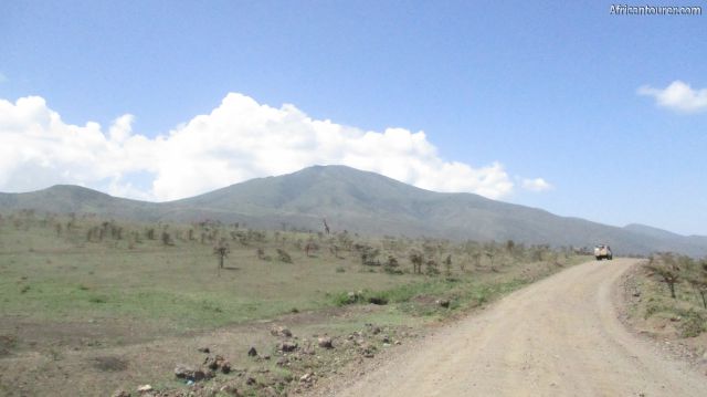
 Mount Makarot of Ngorongoro conservation area, as seen from the road to Olduvai gorge
 Mount Makarot of Ngorongoro conservation area, on the far left (behind) mt. Satiman as seen from the road to Olduvai gorge
- Mount Makarot of Ngorongoro conservation area, on the far centre with mt. Satiman (near left) and the Malanja depression (near centre)
- Mount Makarot of Ngorongoro conservation area, in the distance (behind) mt. Satiman withthe Malanja depression (near)
- Mount Makarot of Ngorongoro conservation area, hidden behind mt. Satiman and the Malanja depression (near)
Altitude: 3130 m.a.m.s.l.
A volcanic cone/mountain located inside the Ngorongoro conservation area of Northern Tanzania. It serves as a potential hiking destination for tourists - a one day hike with the option of visiting its neighbour mount Satiman and the Malanja depression as well.
What to do there?Hike to is top to enjoy the view of the Ngorongoro crater, Lake eyasi and other features in the surroundings.
Best time to visit?Any time of the year, as hiking rarely depends on the roads, just remember to bring water proof gear if you are intend to come here during the rainy seasons of March to June every year.
Location of mount MakarotMount Makarot is located a short distance from the Western crater rim of the Ngorongoro crater, in the northern Tanzania region of Arusha. Nearby are several Maasai traditional bomas and attractions such as the Malanja depression. For more information on its location, please see the map below.
How to get thereThe last bit has to be done on foot, but you could use a vehicle to get to its base from the Loduare gate or one of the accommodations in the area.
AbbreviationsNCAA - Ngorongoro Conservation Area Authority
m.a.m.s.l. - metres above metric sea level
Continue reading
Popular spots