Skeleton coast national parknorth western Namibia
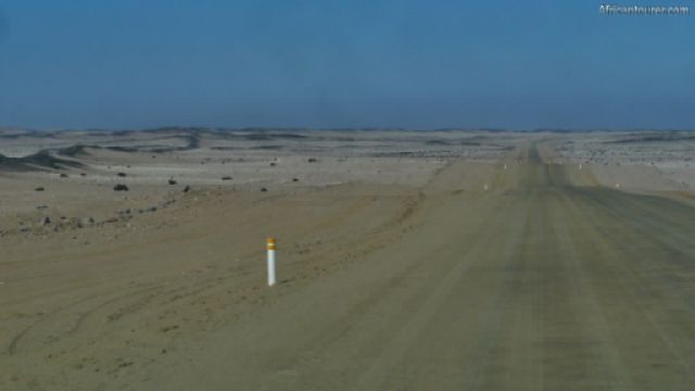
Skeleton coast national park, road through it 1
Namibia's fourth largest national park — an inhospitable stretch of coastline on the northern end of the Namib desert, and a place that has claimed many ships that still lay rusting on its shores.
It covers an area of about 16800 square kilometres, some of which is only accessible by air.
What to do thereGame drives, bird watching, picnics, camping, hiking, quad biking, air safaris.
Best time to visitAny time of the year
Location of Skeleton coast national parkIt takes up most of the country's northern coast, and surrounding areas — bordered by the Atlantic ocean to the west, Angola to the north, and Dorob national park to the south.
It also makes up much of the northern half of the Namib desert, with the Ugab and Kunene rivers as its southern and northern borders respectively.
How to get thereBy air or road.
References1. By Zairon - Own work, CC BY-SA 4.0, https://commons.wikimedia.org/w/index.php?curid=71448188
Continue reading
Day
00:00
GMT
+z
Related places
We have no related places to show you
Popular spots
